Precise as-is architectural measurements (building measurements)
For architects and planners, precise measured drawings serve as the basis for successful alteration and renovation projects.
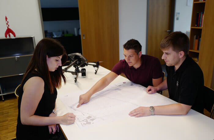
We make use of 3D laser scanners and tachymeters for producing three-dimensional measurements of buildings. As the basis for a highly exact rendering of the building, we create a location and height mapping of the various floors of the structure. This allows for a reliable vertical projection of all levels that are to be represented and ensures that all measured heights have a common reference point.
The client receives the following geometrically coordinated CAD drawings in standard data formats:
- Facade views
- Floor plans with floor heights
- Sectional views of the structure
- Surface calculations
Regarding the degree of detail in the delivered files, we following the instructions of the client which are exactly specified before the beginning of measurements.
See also: Facade Measurements
Building measurement
To prepare building measurements, the floor plans, sections and facades of the building are exactly measured and documented. The current as-built documentation can be prepared from the building measurement, which is important for further planning as well as for future additions and alterations.
For our clients, we prepare a precise as-is architectural measurements in digital and analog form with the help of 3D scanners and tachymeters. Using these measurement devices, it is possible for us to provide you with the most exact measurement results and a precise as-built rendering of the building that can also be used for further digital processing.
Included in our as-is building measurements, you receive facade views, floor plans with floor elevations, building cross sections and area calculations. Before beginning the measurements, we specify together with you the desired degree of detail for the results.

Site Measurement
In the construction field, site measurements involve the surveying of existing buildings, plants or structures. This type of as-is documentation serves as the basis for the further planning of building activities. It can be used for determining the scope of work for specific items based on the detailed measurements that have been made. This in turn can then serve as a basis for budget planning.
For as-built documentation, the building measurements are of great importance. For this reason, the floor plans and sectional views must be very precisely measured and analyzed.
Exact measurement with 3D laser scanners
Surveying with 3D laser scanners provides a speedy measurement of buildings and other structures, as well as plants, installations and landscapes. 3D laser survey measurement is recognized as the most modern and precise of available measurement techniques.
3D laser scanners are the preferred method for conducting as-is measurements of facades and buildings. Not only do the measurements provide results for volume, floor plans and areas, they also map the smallest details on a precise as-is basis.
Measurements with 3D laser scanners provide the best possible results with comparatively low expenditures of time and effort. The 3D laser scanners measure on a touchless basis in a comparatively short period and with a high degree of accuracy. For further processing, the data can be simply transferred into a CAD program and analyzed there.
Even years later, the necessary data can be taken from the saved 3D measurement fields. With the help of 3D scanning, buildings and plants can also be surveyed from aerial positions. The results are true to reality without geometrical distortions.
The exactitude of the results is based on the generation of millions of measurement points that are made with a terrestrial laser scanner. The results are available in an x,y,z data set with complete measurement points that can be transformed into a common coordinate system.
The building measurements are produced from these coordinates in a virtual 3D model.
However, not every surveying laser can be used for all types and sizes of buildings and structures. In surveying lasers, a distinction is made between those operating with impulse measurement technology and those working with a phase shift measurement process. The phase-shift lasers are best suited for the measurement of smaller properties and they provide a higher number of measurement points per second. These 3D laser scanners are particularly well suited for the measurement of buildings with indented surfaces. Laser scanners working with the impulse measurement method are better suited for the measurement of entire cities and earth surfaces because they can determine distances of up to 1,000 meters very exactly. For this reason they are preferred for the determination of suitable locations for solar power plants and reservoirs, for example.
3D laser measurement is also frequently used for applications in risk and peril management, for example to detect cracks in dams at an early point in time and to monitor structural stability in real time. In this way 3D laser scanners can also be employed on a preventive basis to avoid large high-cost damages and even to save lives.
Tachymeter
Neben 3D-Laserscanner bietet sich für das Gebäudeaufmaß auch die Nutzung von einem Tachymeter an. Es wird zwischen optischen und elektronischen Tachymetern unterschieden. Letztere sind besonders praktisch, da sie die Richtung selbstständig messen.
Dabei werden Distanzen durch eine elektronische Distanzmessung ermittelt. Elektrische Tachymeter ermöglichen außerdem den automatischen Datenfluss zur Auswertung der Messergebnisse. Mit einem Tachymeter lassen sich Horizontalrichtungen, Vertikalwinkel und auch die Schrägstrecke ermitteln.