Welcome to Buck Surveying
At our surveying office in Kassel, Germany, we have been planning, surveying, monitoring and documenting your large and small construction projects for more than 35 years. Our team of surveying engineers and technicians, led by Dipl.-Ing. Oliver Buck MA MRICS, Publicly Appointed Surveyor (ÖbVI) and certified inspector, is ready to meet all your surveying requirements with precise and efficient solutions – whether in Kassel or elsewhere in Germany. If you are looking for a reliable partner for cadastral or engineering surveying, you’ve come to the right address.
Whatever your project – an airport or a logistics center, a one-family house or a shopping center – the highly experienced and qualified team at Buck Surveying is ready to take care of all the consulting, planning and surveying activities required for your project. We employ the most modern surveying equipment and are also able to provide support for building permits and approval processes, property valuations and geoinformation. We have extensive experience working with all kinds of builders and developers, city and municipal authorities, project developers, large and small companies, architects or private builders.
As holder of the public office of the ÖbVI Hessen (Publicly Appointed Surveyor), we are authorized by the state to carry out cadastral surveying and to certify surveying data.
References
References

OUR REFERENCES
Find out more


CAREERS
What is surveying after all??
Without surveying engineers and surveying technicians, we would have no buildings that were entirely safe, no properly designed roads, no accurate property boundaries. A general definition of surveying is the metrological determination of points on the earth’s surface, in a given space or on properties with a particular purpose in mind. For example, for the documentation of boundaries or the determination of the characteristics of a particular piece of terrain. In surveying, surveying engineers – also called geodesists – are concerned with the surveying of buildings and properties and the processing of the information that is collected through these measurement activities. Geodesy is the “science of measuring and mapping the earth’s surface.”
What happens in a surveying office?
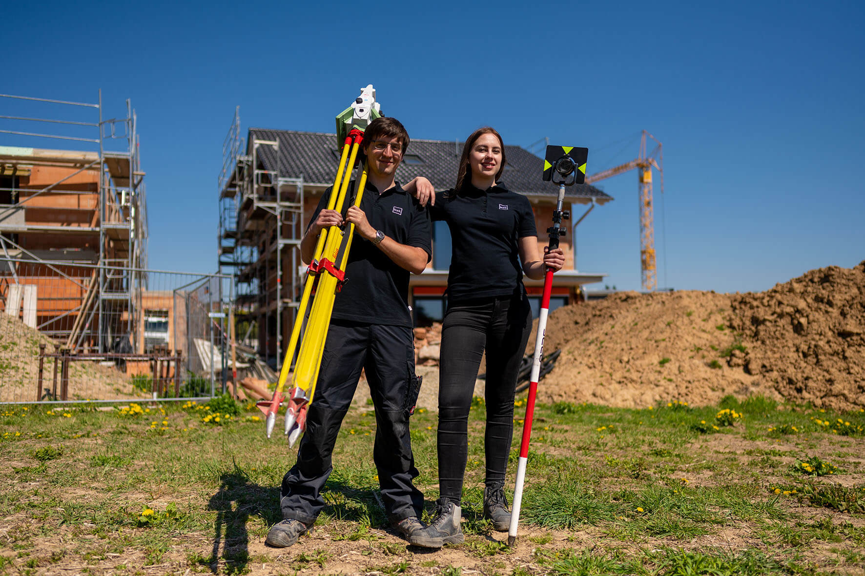
Surveying engineers and technicians work in a surveying office and take care of all of the surveying activities required for private or public building projects. In the surveying office of Buck Surveying, there is also a publicly appointed surveyor, who is authorized to carry out official tasks such as cadastral surveying. In our daily work we determine and record the exact position of property and building boundaries as well as the location of certain points on the earth’s surface with the help of modern measurement and analytic technology.
What does a publicly appointed surveyor do?
A publicly appointed surveyor (ÖbVI) takes care of publicly mandated surveying tasks as well as handling engineering surveying activities under private law. Only publicly appointed surveyors are allowed to issue notarizations and certifications, just like a public authority. Publicly appointed surveyors are also responsible for special assignments, acting as certified inspectors in connection with surveying issues.
As a surveying office with a publicly appointed surveyor, we at Buck Surveying are genuine surveying experts. A surveying engineer can only become a publicly appointed surveyor after being nominated by the regulatory authorities. For this the surveying engineer must have the qualifications to perform higher surveying functions – supplemented by extensive professional experience in land registry and cadastral surveying over many years.
Engineering surveying: Modern measurement technology
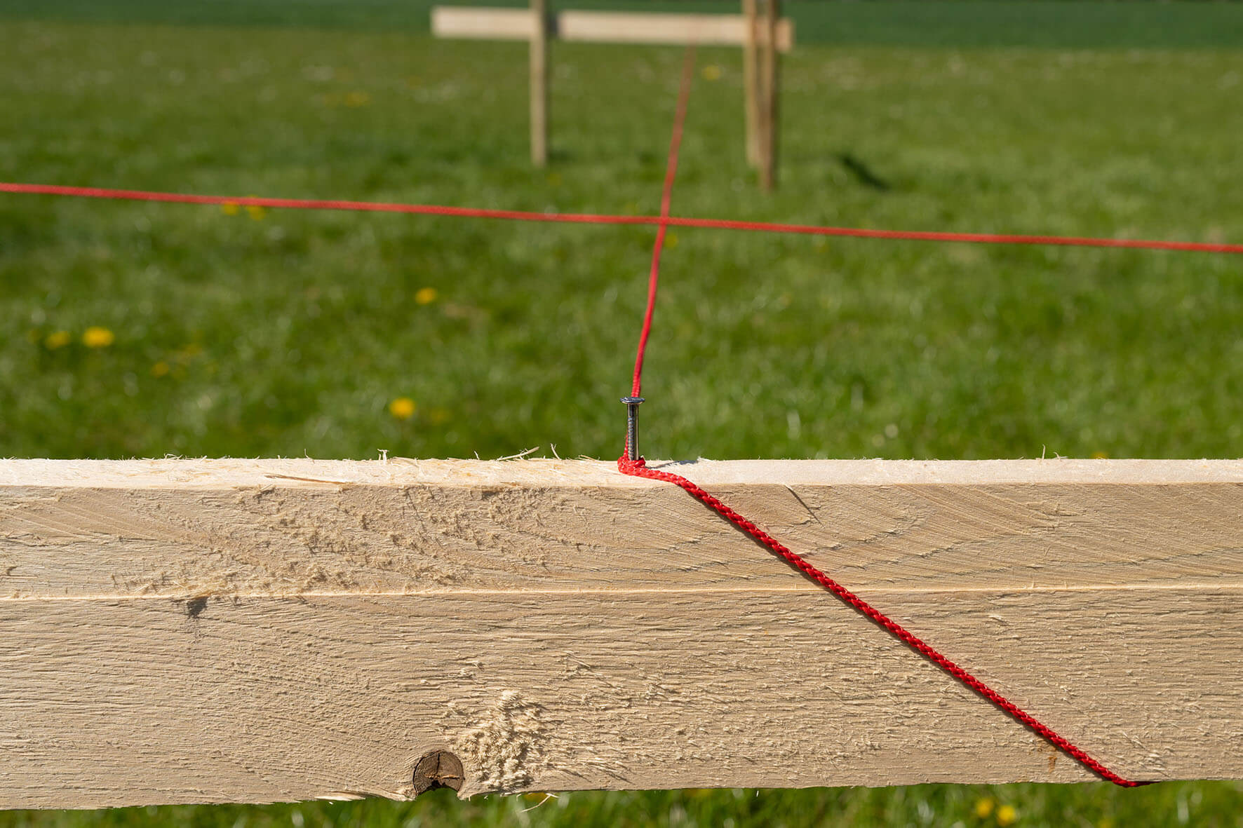
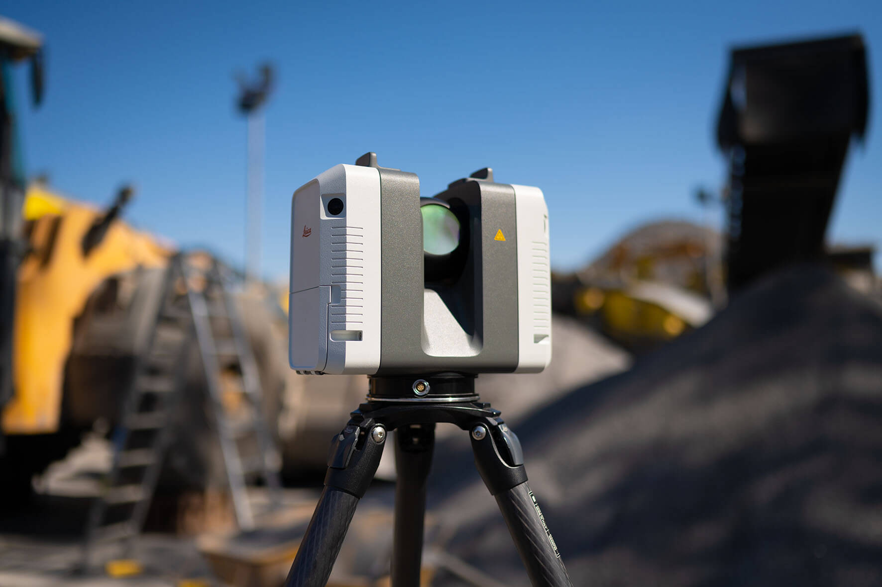
Engineering surveying comprises surveying work that takes place in connection with the planning (e.g. property plans for building applications), marking out of buildings and monitoring of structures and properties. Unstable landslide-prone slopes or settlements are monitored as well as man-made structures such as bridges and tunnels through periodic or continuous measurements (specialized deformation monitoring). New measurement technologies such as 3D laser scanning and aerial image surveying round off our range of engineering surveying services. These are supplemented by advanced new methods such as BIM (Building Information Modeling) or VR (virtual reality) tours as optical enhancements of measurement results.
Cadastral surveying: The basis for land plots and houses
Cadastral surveying plays an important role in everyday affairs. In contrast to engineering surveying, cadastral surveying represents an official function. In this work, new land plots may be formed (subdivision surveying), existing plots may be reviewed, buildings measured or boundaries defined. Because cadastral surveying is a function of the state, these activities are performed by the cadastre officials or by a publicly appointed surveyor, depending on the German state in which the work is being done.
