Joint work-study program with in-depth practical experience
WORK-STUDY WITH IN-DEPTH PRACTICAL TRAINING AT BUCK SURVEYING
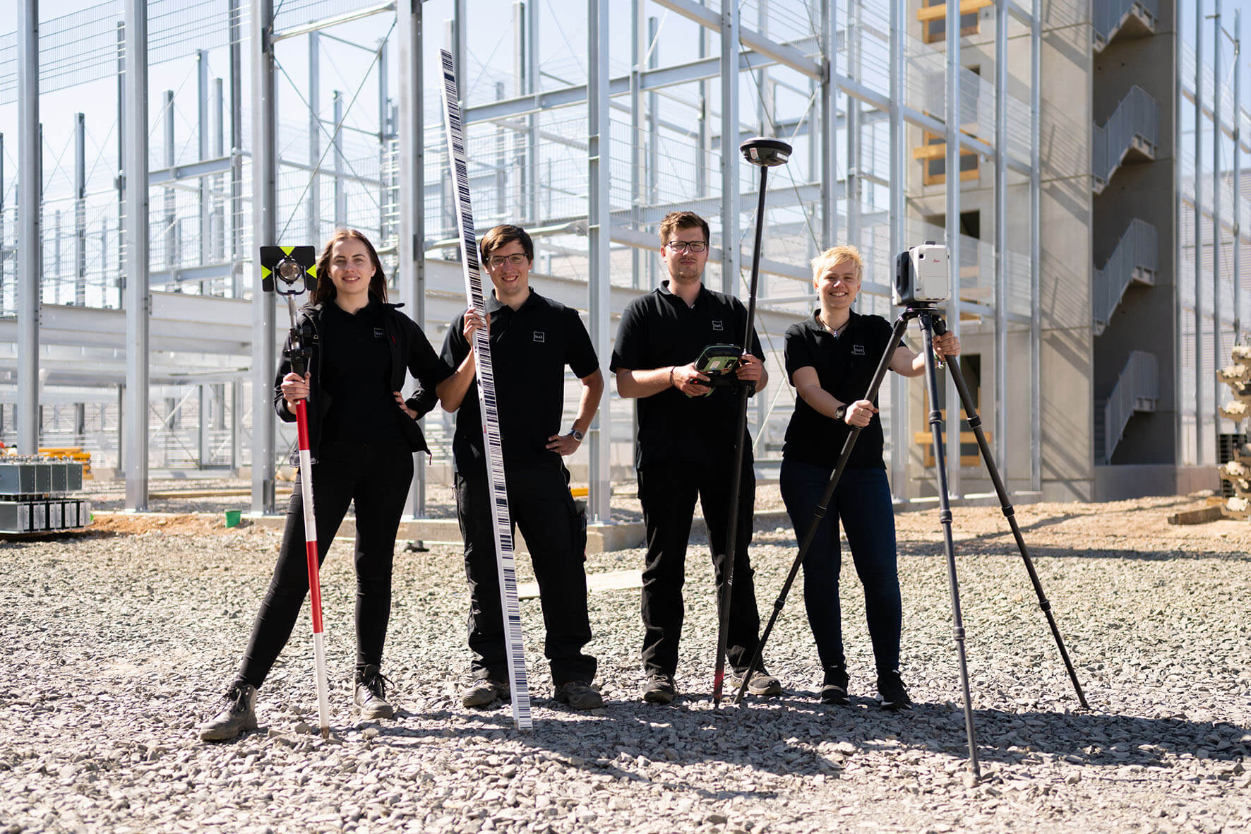
The geodesy work-study program offers students the chance not only to acquire theoretical knowledge, but also to gather wide-ranging practical experience. The practical application of a broad range of measurement methods and the use of the most modern measurement technologies take a leading role in our training.
At Buck Surveying we also place a high priority on the development of young talent in the field of surveying. That’s why our students acquire all the important fundamentals that they need for a perfect entry into professional life as surveying engineers.
Our students of surveying and geoinformatics

JOINT WORK-STUDY WITH IN-DEPTH PRACTICAL TRAINING 2022
WE’RE LOOKING FOR YOU FOR A WORK-STUDY OPPORTUNITY IN SURVEYING
Get started now with our surveying office as a partner in your surveying studies. Apply now for university study starting in Winter Semester 2022.

Hermann Meyer, Anhalt University of Applied Sciences. Course of study: Surveying and geoinformatics, 2021
For my studies I wanted to be sure to combine theory and praxis with each other. That’s why I made a point of choosing a joint work-study program. With Buck Surveying I have a dedicated contact person supporting me and I’m already looking forward to the first practical assignments to learn about surveying and experience it first hand in all its different aspects.

Alexander Klingebiel, Anhalt University of Applied Sciences. Course of study: Surveying and geoinformatics, 2019
After what is now four semesters at university, I can still say that for me it was the best decision to study surveying in a work-study program. In addition to the very interesting course work, I look forward each time to the practical assignments and to working with the Buck team. If you’d like to read more, you’ll find my full report on the Buck Blog.
What is a work-study program with in-depth practical training?
A work-study program with in-depth practical training is a practice-integrated course of study in which theoretical teaching during the semester at the university alternates with practical work assignments in the company during the lecture-free period. Students pursuing such a course of study receive financial support from the involved company. In addition to enrolling at the university, you also conclude an employment or training contract with our surveying office.
What are your benefits?
- Extensive practical and professional experience
- Excellent career opportunities
- Plus financial security
Geodesy, surveying and geoinformatics – Pursue your degree successfully through a joint work-study program
In the field of surveying, practical application of knowledge has a central focus. Therefore, we recommend a work-study program in which theoretical knowledge is combined and enhanced with practical experience. This approach to studying offers you the best possible start for your subsequent professional career.
In the following, we’d like to provide you with an overview of what a geodesist or surveying engineer actually does, how a work-study program with in-depth practical assignments really functions, and what the professional prospects are for students completing a work-study degree in geodesy.
What does a geodesist actually do?
In surveying, surveying engineers – also called geodesists – are concerned with the surveying of buildings and properties and the processing of the information that is collected through these measurement activities. New technologies such as GPS, photogrammetry, 3D laser scanning and tachymeters are making surveying more precise than ever before.
A surveying engineer deals with cadastral surveying and construction surveying. Surveying engineers also measure land plots, for example, so as to set up so-called batter boards that mark out the exterior edges of a planned building foundation. The measurements of a geodesist are an important aspect of construction projects and are frequently referred to in the official building permit. Publicly appointed surveyors are even allowed to make boundary notes and to certify modifications in the official cadastre.
Geodesists also provide geoinformation and prepare digital terrain models or 3D models of buildings or machines. Surveying is also an important area in industrial production and provides critical information for quality control by detecting the most minute degrees of physical wear in machines. This makes it possible to take counter measures which ensure that quality is maintained in production. Surveying also plays a crucial role in reverse engineering, providing data that makes it possible to produce individual components through processing in CAD programs.
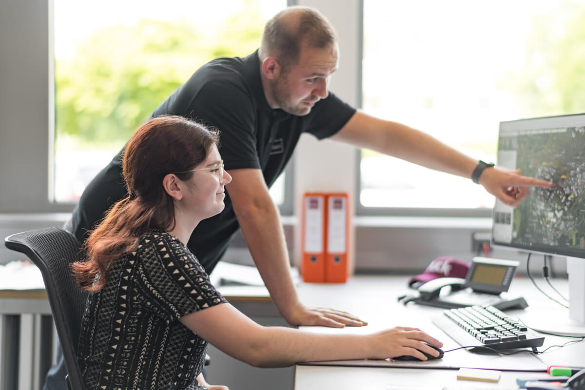
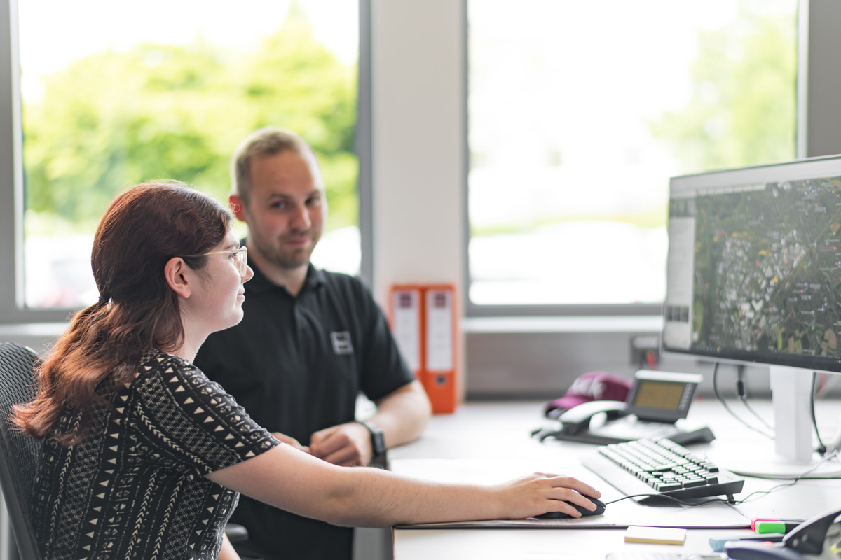
The geodesist profession has changed significantly in recent years because of a growing need for highly precise surveying and the development of new technologies to do this. Most measurements are made with tachymeters, 3D scanners and digital levels. At Buck Surveying, we also make use of our measurement drones to produce precise aerial images. The collected data are then transferred into a CAD program or geographic information system (GIS) for further processing. Despite the high-tech aspects of the profession, the job as a surveying engineer offers a great mix of office work and outdoor activity.
The geodesy work-study program with in-depth practical training
The prerequisite for participation in a work-study program in the field of surveying is a secondary school degree qualifying you for university study, the so-called “Abitur” in Germany. With this you can apply for a university work-study program in geodesy with in-depth practical training. The geodesy work-study program imparts in-depth and wide-ranging knowledge in the field of surveying – from the development of modern geographic information systems to engineering surveying and cadastral surveying.
In the bachelor’s program for geodesy, different modules are offered such as engineering mathematics, geosciences, programming of geodata, geodetic calculations, geodetic measurement technology, geographic information systems, cartography, engineering geodesy and geodetic methods of analysis.
A significant benefit comes from combining theoretical knowledge and practical application. At university you become familiar with the theoretical background and procedures, which you then get the chance to put to use in real life with us. Not only do you collect experience with different measurement instruments, you also learn through direct experience which measurement methods are best suited for which types of work. In this way a work-study program in surveying gives you an ideal preparation for entering the field in a professional capacity. Not only does this improve your prospects for finding a job, it also gives you the chance to check out different areas of surveying and decide for yourself which you find most interesting and exciting.
YOU’RE WONDERING WHETHER A WORK-STUDY PROGRAM IN GEODESY WOULD BE THE RIGHT THING FOR YOU?
If you are really interested in earth sciences and geography, then that’s a good first step. Geodesists also need to have a good basic understanding of technical and mathematical subjects, a strong spatial sense, and be able to process information quickly.
University work-study programs with in-depth practical training
You can obtain a degree in geodesy with in-depth practical training at the following universities:
Anhalt University of Applied Sciences
The Anhalt University of Applied Science, located in central Germany between Leipzig and Magdeburg, offers a dual degree program in surveying and geoinformatics (mvP) in the department of architecture, facility management and geoinformation (B. Eng.). The first three semesters of the program consist of compulsory modules covering the mathematical and scientific basics, the use of information technology, and the collection and processing of geodata. Starting with the fourth semester, students study a variety of specialist modules, which, through the selection of various elective modules, also allow for greater specialization in certain areas. Depending on their interests, students can specialize more in geodata collection and analysis (engineering geodesy, analysis technology, photogrammetry and remote sensing), land use management, or geoinformatics. The workplace internship in the sixth semester allows students to acquire practical experience and to establish contacts with the professional world. In the seventh semester, the focus is on working with scientific methods in projects and on the final thesis (bachelor’s thesis).
General Student Advisory Service
Tel.: +49 (0) 3496 67 5203
studienberatung(at)hs-anhalt.de
You can find out more about the course of study here:
University of Applied Sciences Würzburg-Schweinfurt
At the University of Applied Sciences in Würzburg-Schweinfurt you can study surveying and geoinformatics with in-depth practical training. The university is located in the south of Germany between Frankfurt and Nuremberg. The program leads to a Bachelor’s of Engineering (B.Eng.) and starts each year in the winter semester. Requirements for admission can be the “Abitur” (A-levels), the “Fachhochschulreife” (advanced technical college entrance qualification) or the “Meisterprüfung” (master craftsman’s examination). Admission can also be based on equivalent further vocational training or subject-specific admission for particularly qualified persons who are already working. The course of study is similar to other bachelor programs in the amount of time and content involved; the practical parts of the course are completed during the semester breaks. A total of 10 months (40 weeks) of practical training should be completed in the course of study. The in-company training occurring in the practical phases of the program should be broad in scope and content.
Contact person for prospective students at the Würzburg-Schweinfurt University of Applied Sciences:
Elmar Kemmer
Central Student Advisory Services
Telephone: +49 (0)931 3511-8169
Email: studienberatung[at]fhws.de
You can find out more about the course of study here:
Munich University of Applied Sciences
The course of study in Applied Geodesy and Geoinformatics (bachelor’s or master’s) is also available here as a degree program with in-depth practical training. The city of Munich in the south of Germany offers students a wide range of possibilities, including its proximity to Austria and other countries. The course of study includes at least 50 percent more practical training than regular university study. Starting the program with in-depth practical training can take place in either the first, second or third semester of your course of study. The coordinated units of of university-based study and company-based practical experience provide students with a deeper insight into both the practical work done in the company and into the knowledge acquired during classroom study.
Student advisor at the Munich University of Applied Sciences:
Prof. Dr. Jens Czaja
Room: F 119
Tel.: +49 (0)89 1265 -2670
Career prospects in geodesy
The geodesy work-study program with in-depth practical training is assigned to the engineering sciences at the university. It offers students an ideal preparation for a future career with its combination of theory and practical experience. Graduates of a work-study program in surveying can find jobs in engineering offices and surveying offices as well as at construction companies, aircraft and automobile manufacturers, and also with manufacturers of measurement systems and analysis systems. Land surveying, construction surveying, machine measurement, hydrography or cartography – for geodesists there is a multitude of areas where their skills can be put to use,whether on land or on sea.
Currently there is also a shortage of graduates in geodesy and geoinformation. New specialists are urgently needed in the field. Therefore, those interested in a work-study program will not only find a large number of training places but also good opportunities when they finish their training. Whether in business, the sciences or in administrative positions, graduates have great opportunities in Germany and also internationally because surveying engineers are needed everywhere – wherever exact measurements and dimensions are required.
Work-study degree program with in-depth practical training with Buck Surveying
We offer aspiring geodesists a comprehensive view into the whole field of geodesy. In addition to the consulting that we do, our services include structural monitoring, the issuance of certifications, cadastral surveying and engineering surveying. This means that we perform deformation monitoring and settlement measurements, we take care of cadastral support for land consolidation processes, we prepare digitized measured drawings and as-is building measurements, and also offer comprehensive services in the area of inclinometer measurements, aerial surveying and building marking-out.
Our technical equipment is state-of-the-art and will open up the whole field of surveying and measurement to you. You’ll be able to find out which measurement devices and which methods are most suitable for different types of projects and how you can process the various data that are collected with these devices. You can perform large-scale surveying or also miniature measurements and prepare super 3D models. Our aim is to make you an expert in the field of geodesy.
With us, work-study students of surveying can gain practical experience and enhance the theoretical knowledge from the university by putting it to use in real-life situations. We place a high priority on the development of new specialists in the field. Therefore we are always pleased to get new apprentices and work-study students who, like us, have discovered a passion for the field of surveying.
Apply now and become part of our team!

