
Determining and marking boundaries
When there is uncertainty regarding the actual course of a property boundary, then it is necessary to formally determine where the boundary lies. In contrast to marking a boundary, the boundary determination is a legally binding process of establishing, and in some cases marking, the existing boundaries of a piece of property. The results of the boundary determination are delivered to the owner and other involved persons through a formal notification (boundary determination and marking notification).
The marking of a boundary is an informal process of creating some physical marking for the legal boundary of a piece of property, e.g. with wooden pegs. It is always advisable to mark the boundary of a property when structures such as fences, walls, garages, etc. are going to be built along the boundary.
Determining and marking boundaries
When erecting a fence, a garage or planting a hedge, it is important to know exactly how close it is to the neighboring property. As Schiller long ago remarked: „The most pious man cannot live in peace if his mean-spirited neighbor is not also content.“ Precisely specifying a property boundary can make it possible to avoid unpleasant confrontations with neighbors or a last-minute stop in construction activities.
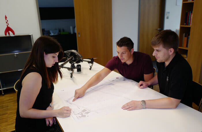
Boundary determinations and marking activities are part of the cadastral surveying. With these procedures, boundaries are established, measured or marked. Boundary determinations are official public surveying functions – boundary markings are not.
Prerequisites for the boundary determination
A boundary determination is undertaken on the instructions of the owner of the respective piece of property. This should be done when the course of the boundary is not clear or when markings such as boundary stones are missing or their position has possibly been changed. Often this is done in connection with roadway expansions. In the agricultural segment, boundary determinations are sometimes required when after many years the course of the boundary lines between fields and farmland has become unclear.
Often, official boundary research is sufficient to clarify the course of the boundary. We will be pleased to advise you in connection with such activities.
Reasons for ordering a boundary determination
There may be various reasons for ordering a boundary determination. These may include planned construction activities for buildings close to a boundary where the exact position of the boundary is uncertain. The initial marking of boundary points with boundary stones or other markers can also be performed at such a time. If the existing boundary points have been destroyed or shifted, the markings can be restored.
Procedure for a boundary determination
After the owner of the property has placed an order for the boundary determination, all neighboring property holders will be informed in writing about the commencement of the surveying work.
With a boundary determination, the boundaries are examined on site. Then they are compared with the materials already present in the land survey registry. If there is no cadastral documentation or if the information is contradictory, then a new investigation of the boundary will be undertaken and officially noted. The boundary investigation is an investigation of the facts of the case and has the aim of determining the boundary.
When the surveying work has been completed, then the owners of the property will be invited to a boundary appointment by the publicly appointed surveyor to show the newly determined boundary. Statements of acknowledgment by the involved property holders will be issued in a official document (boundary note). Then the boundary is legally binding on a permanent basis for the property holder and subsequent holders of the property.

Documentation of the results
The results of the boundary survey are recorded in the surveying documents. Following this, the results are registered by the cadastral authority. They are then available for later surveying activities or in connection with legal questions.
Costs of a boundary determination
The fees for boundary determination are specified in an official fee schedule as the boundary determination is an official public function. Information on the actual costs of the procedure can be provided by the responsible office of the administrative cost schedule for the business segment of the Ministry for Economics, Energy, Transport and Land Development (VwKostO-MWEVL). These costs always depend on the circumstances of the specific boundary determination situation. We will be pleased to advise you in this connection.
Benefits of a boundary determination
After the boundary determination has been made, the owners of the property have legal certainty regarding the adjacent parcel boundaries. With the official entry of the boundary determination, the owner’s property rights are ensured. Additionally, if it is wished the boundary points can be marked permanently at the site.
Boundary marking
Boundary marking, as distinguished from boundary determination, is not an officially regulated process. With boundary marking, the boundary is surveyed on site with the help of the files from the cadastral office. The boundary line is then marked in color. Boundary stones that have been lost or are no longer at their original location are marked with small posts. The course of the boundary is shown and explained to the persons placing the order.
Differences between determining and marking boundaries
With the marking of boundaries, statements of acknowledgment are not obtained from neighboring property holders. The findings in the boundary marking process are also not entered in the land survey registry.
The boundary marking process is not an official public function. Therefore the charges for the service are not calculated in accordance with an official schedule of costs. A publicly appointed surveyor is also not required to perform this work. For this reason, marking of a boundary is usually more economical than the official boundary determination.
Use of boundary markings
Boundary marking should not be used in connection with disagreements between neighboring property holders. In a boundary marking procedure, statements of involved property holders are not taken and any existing deficiencies in the marking of the border are not resolved. For borders that have not yet been determined, a boundary marking is not possible. If discrepancies to the cadastral files are found with an on site inspection, then the order of the owner can be altered to entail an official surveying of the border.
If the property holder is undertaking a construction project and would like to be informed about the status of the border, then a border marking procedure is most appropriate. Our surveying office is always ready to give property holders the information and the support they need for all their boundary-related activities. We will work together with you to determine the necessary measures for your plans.
Official border marking
The border marking becomes official when a binding statement is made through a drawing regarding the position of the border. This drawing is certified with the state seal.
This drawing, however, is not forwarded to the cadastral office. And the neighboring property holders are not involved in this process. The results therefore have no legal effect for third parties. The boundary marking only serves to provide certainty for the individual property holder.