Municipalities
We will be pleased to advise and support you with the full range of surveying services in connection with land development questions: from replotting procedures to subdivision of areas to individual plots. And, of course, we are also pleased to help out with services for establishing individual plots or for redefining property boundaries.
Our services:

Construction projects in municipalities
Surveying also has a crucial role to play in municipal construction projects. We support municipalities with cadastral services for replotting procedures and for defining land parcels, for dividing properties and for determining boundaries.
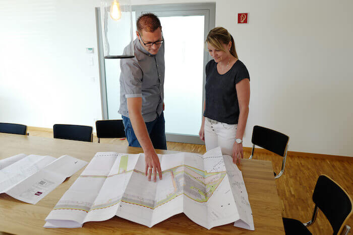
Construction projects in municipalities
Surveying also has a crucial role to play in municipal construction projects. We support municipalities with cadastral services for replotting procedures and for defining land parcels, for dividing properties and for determining boundaries.
Cadastral support for replotting procedures in municipalities
Replotting procedures are public governmental measures with the aim of assigning a new purpose to particular land areas. Improvement replotting is used for the development of land parcels in the municipality that previously were not considered to be ready for development. Land assembly on a new basis becomes necessary when a new development plan affects an already built up area. In such cases it is important to provide property holders with appropriate compensation. That means that compensations must be provided for the value of the property. This is done either through providing substitute property areas or through a monetary payment. If the municipality is only able to offer a plot with a higher value, then the property holder has to pay the difference back to the municipality.
We provide complete surveying and cadastral support for replotting procedures in connection with both large and small projects. This includes the cadastral division of the area into construction parcels, the draft surveying and support with legal aspects of the development project. We also take care of construction-related surveying work and the preparation of site plans for municipalities.
Dividing properties (surveying for plot subdivisions) in municipalities
So that a subdivision can receive notarial certification, a land plot is divided into two or more parcels. In accordance with new regulations, such property subdivisions in municipalities can also be conducted by publicly appointed surveyors and a separate approval from governmental authorities is no longer necessary.
Nonetheless, it is still necessary to make sure that the subdivision is within the scope of the development plan and that all relevant building law provisions are followed. We will be happy to undertake any necessary subdivision surveying work and the preparation of the necessary applications. During the on-site surveying our surveying engineers check the boundary points and compare these with the information from the land survey registry for the municipality. All the data is noted and integrated into the cadastre in the further steps of the process. As soon as the boundary determinations are concluded, the coordinates for the new plots can be calculated in the municipality.
Boundary determinations in municipalities
Boundary determinations are also part of cadastral surveying and give a legally binding basis for establishing or reviewing land plot boundaries in a municipality. The legal boundaries of a land parcel are marked through the boundary determination based on the boundary marking. This is necessary in case fences or walls are planned along the boundary as well as to ensure that the necessary boundary distances to the neighboring plots are observed.
At the beginning of the surveying for the boundary determination all of the neighboring property holders are informed in writing. Then the boundary survey is conducted and the results are compared with the data in the cadastre. If there are disagreements here, then the boundary will be newly calculated. The surveyed boundaries are binding for all neighboring property holders and will be registered with the cadastral officials.
In addition to surveying work for boundary determinations, our services also include setting border markers and comprehensive consulting in these areas.